
Blanerne Castle
Blanerne Castle Details
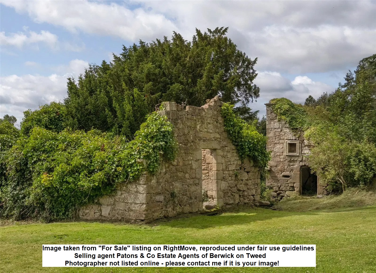
Blanerne Castle, ruins of C16 tower and courtyard of the Lumsdens, probably abandoned C18/19
- Closest To: Chirnside, Preston, Duns
- Access: S.O.A.C. Public Access
- Grid Reference: NT831563
Blanerne Castle was a modest L-plan tower house built at the top of a steep slope overlooking the Whiteadder Water from the north. What remains today is the surviving part of the stair wing, together with the ruins of a separate building which served as a kitchen block. The ruins are not visible from public roads instead being within the private grounds of Blanerne House.
The lands of Blanerne were granted to Gilbert de Lumsden by the Earl of Angus in 1329×1332, and remained in the family until their abandonment in by the 19th century at the latest. The tower house was entered at ground floor level; a door leading into the wing, where a staircase led to the first floor. A corbelled out stair then provided access upstairs, where there were at least two floors. Splayed shot holes can be seen in the wing, and the ground floor of the main block was vaulted, although it has collapsed entirely. This building is named as a doocot on the earliest Ordnance Survey. The kitchen block was a second building most likely connected to the tower house by a barmkin wall, and has the footprint of an L-plan tower, although the “wing” contained a bread oven. The bottom level is built into the slopes so that the access was at first floor level, directly from the courtyard. There is no evidence of a second floor.
There is little confirmed history associated with the property, although there are plenty of records surviving relating to the Lumsdens of Blanerne. Patrick Lumsden appears on record in 1504, John Lumsden in the 1550s and 60s, who had two sons, James and David, who seem to have inherited the lands in turn, David mentioned as laird in 1594. During the Rough Wooing, the tower of Blanerne was named as having been destroyed by the English armies of Hertford in 1544, but was presumably rebuilt, as it appears as “Blainerne” on Gordons map of the Merse in the mid 17th century – on what scale is unknown. In 1684, the property passed to an heiress, who was married to another Lumsden. By the mid 18th century, there are two properties bearing the name, Easter and Wester Blanerne, the castle site forming part of the Easter property, although it is not clear whether it was still occupied. By the 1770s, the property is depicted as a house, not a castle, and this presumably was a new building. It seems to be the case that Easter Blanerne was tenanted by a branch of the Blackadder family, Robert Blackadder and his son John of East Blanern are mentioned in in the latter 18th and early 19th century.
In 1830, a new house was built, to a design by William Burn. This suffered a major fire in 1895 and required demolition – the present Blanerne House dates to the 1897 rebuilding. The house remains a private property, and at the time of writing (January 2025) was listed as for sale.
Become a supporter of my work to access a more detailed history